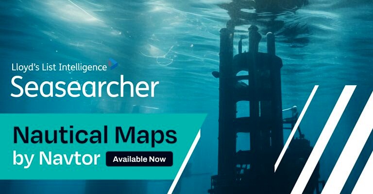
Seasearcher, the leading maritime intelligence platform, has launched Navtor Nautical Charts, a powerful new feature that integrates detailed nautical overlays into Seasearcher’s vessel tracking platform. Designed for legal, insurance, and government professionals, Navtor Nautical Charts delivers complete and effortless situational awareness, helping users streamline claims investigations, reduce risks, and make faster, more accurate decisions.
By seamlessly combining AIS vessel tracking data with underwater infrastructure, water depth charts and critical landmarks, Seasearcher eliminates the need for manual data layering across multiple platforms. The result is a faster, more reliable investigative process that helps professionals uncover critical details that might otherwise be missed.
“The threats to critical underwater infrastructure are growing with new challenges developing” said Sophie Pallier, Senior Product Manager, Lloyd’s List Intelligence. “By combining Navtor’s global maps showing landmarks, infrastructure, objects navigational symbols (and more!), with Seasearcher’s AIS data, we are helping legal, insurance, and government sectors to understand what is happening situationally around the vessel or infrastructure of interest, to better support investigations.”
Why Choose Seasearcher’s Nautical Charts?
Seamless Integration: Works effortlessly with Seasearcher’s AIS data.
Time-Saving Efficiency: Eliminates the need for manual overlays.
Trusted & Reliable: World-leading global Hydrographic Office data and confidence ratings.
Navtor Nautical Charts is available now as a premium add-on within Seasearcher.
You can read more of the latest from the world of Marine here.